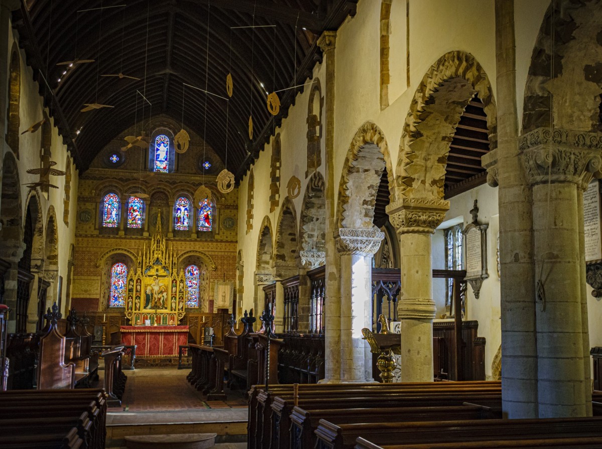
St Peter’s and its parish
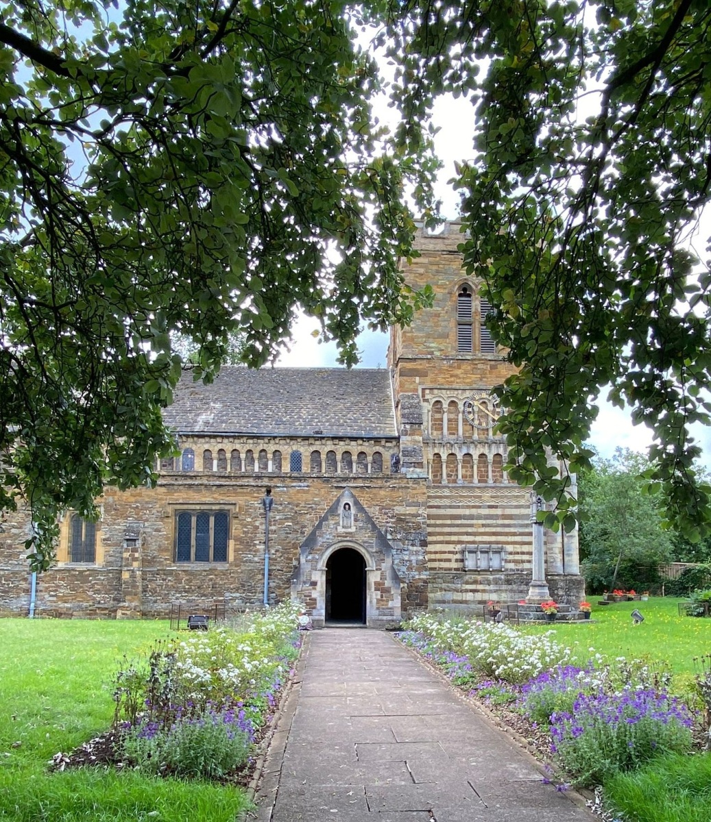
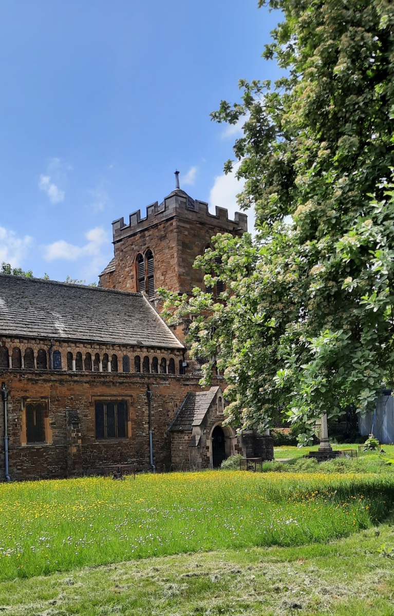
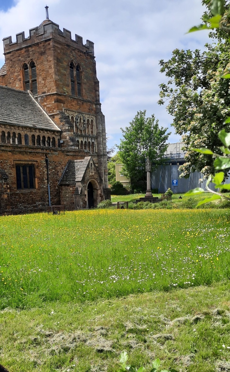
Today St Peter’s stands in isolation but for centuries had been at the centre of a community.
An interesting snapshot is provided by the Northampton Mercury & Herald in 1950:
CAR PARK WHERE SLUMS WERE
St Peter’s Green car park – it has a 25 cars capacity – situated on the south side of St Peter’s Church, was officially opened by the Mayor of Northampton (Alderman C. A. Chown).
Thirteen years ago the land was occupied by 54 houses which were demolished as unfit for human habitation. Now the land left by the demolition has been transformed into a grass plot, in the centre of which is the car park. With the Mayor were several members and officials of the Town Council.
He said that in 1937 that acre of land was occupied by 54 houses, stated to be one of the worst residential areas in the town.
The property on St. Peter’s Green, Green-street and Narrow Toe Lane was demolished. Now it had been converted and given a “new look.”
It was hoped in the future to connect the Green with “Foot Meadow,” only 100 yards away and so make it possible to walk from the main street of the town into the “open country.”
The “Green” was planned by the Borough Architect, Mr. J. L. Womersley and the Parks Superintendent Mr. J. J. McIntosh who acknowledged the gift of 10 flowering trees by Mrs. W. T. Pearse daughter-in-law of a former Mayor of Northampton (the late Mr. J. E. Pearse).
Mercury and Herald, Friday August 11th 1950

St Peter’s Street looking east

St Peter’s Street looking east
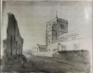
St Peter’s Street looking west
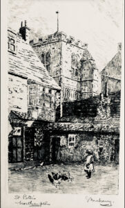
Rear of a house in St Peter’s Street
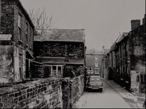
St Peter’s Street looking towards Freeschool Street – note St Peter’s Garden’s sign on the left
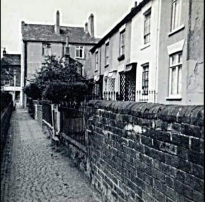
St Peter’s Gardens which stood close to the east end of the church
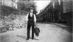
1930s St Peter’s Street close to the rear of the Old Black Lion. The corner of the church tower can be seen on the left and the wall remains today. The child in the photograph once lived in St Peter’s Street.
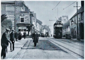
Marefair and Black Lion Hill circa 1910
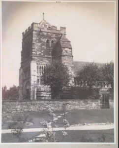
St Peter’s Street after demolition of the houses there

School children outside St Peter’s on Marefair during the visit of King George V and Queen Mary in 1913
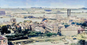
St Peter’s on left from the direction of Castle Hill United Reformed Church
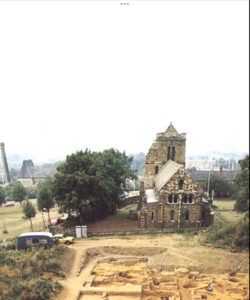
Archaeological excavations St Peter’s Street 1970s
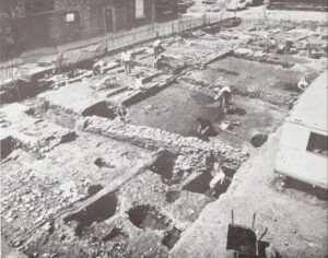
A few buildings remained in St Peter’s Street at the time of the 1970s excavations
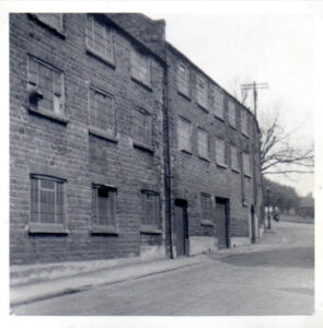
Elephant Lane 1962. This street was off Black Lion Hill and began opposite the entrance to the railway station. The trees in the distance, which are to the south of St Peter’s, still stand today. The buildings are likely to have been part of Manning’s Castle Brewery at one time.
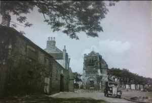
This photograph shows the area close to the rear of the Old Black Lion after the houses in St Peter’s Street and St Peter’s Terrace have been demolished. It would been taken in the late 1930s or 1940s. Today the location where the houses once stood is a wild meadow. The houses in St Peter’s Gardens are still standing in the photograph.
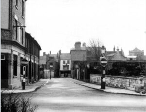
Doddridge Street, previously known as Quart Pot Lane, in 1959 looking down towards Marefair with the tower of St Peter’s church on the far right.
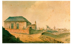
Doddridge Castle Hill Church, and the tower of St Peter’s right of centre. A watercolour by Ellen Phipps Robinson (1871-1942), probably painted circa 1900 from an earlier work as it is inscribed ‘after Cooking 1805’.


